
East Coast Canada November 2021 Lease Sale
Subsurface Insight Ahead of the 2021 Labrador South Region Call for Bids.
The 2021 East Coast Canada Call for Bids is expected to emulate the success of the recent Eastern Newfoundland bid rounds. Since 2018, over a billion dollars of successful bids have been submitted in this region by several exploration companies.
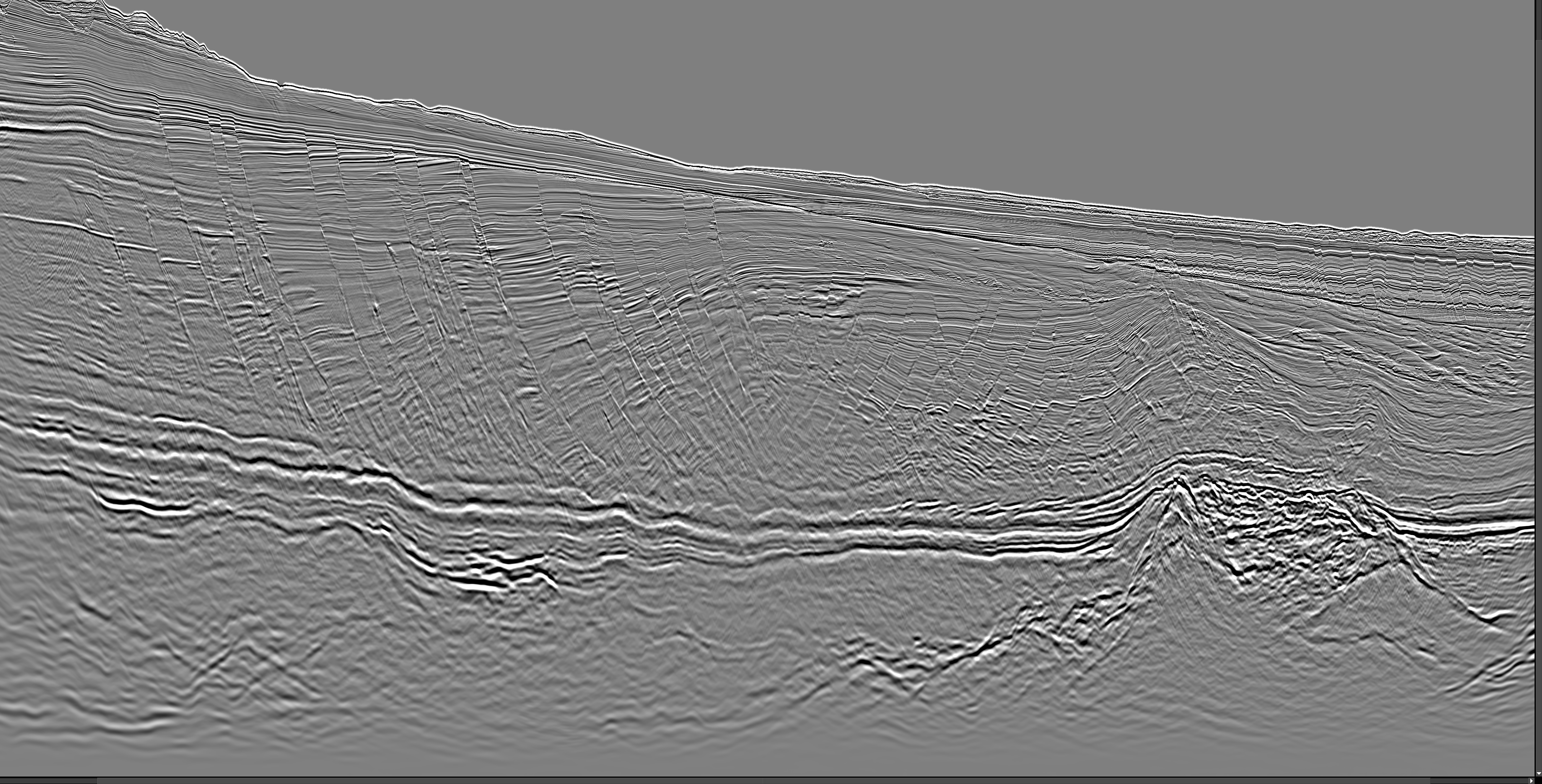
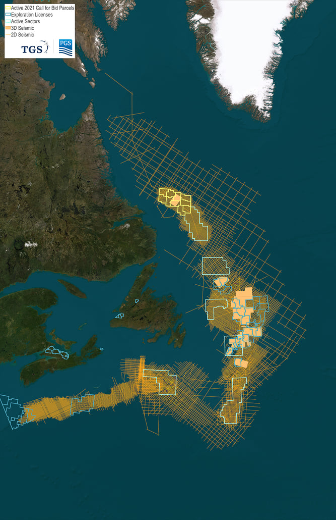
TGS, in partnership with PGS, holds the most comprehensive collection of subsurface data covering acreage being offered in the Labrador bid round areas. This data includes 2D and 3D seismic data, interpretation studies and well data. The Torngat 3D covers highly prospective parcels of the 2021 Labrador bid round area. The 2D and 3D surveys were acquired utilizing the PGS Broadband Geostreamer Technology with 8,100 meters of offsets providing high quality imaging.
To view the Canada-Newfoundland and Labrador Offshore Petroleum Board (C-NLOPB) 2021 parcel definitions, click here. This call for bids will close in November 2021 with license awards to successful bidders in January 2022.
For the full timeline for active rounds from the C-NLOPB, click here.
 New Incentives for Seismic and Drilling Expenditure
C-NLOPB has announced that that the percentage of pre-bid seismic spend that will be refunded from the winning bidder’s security deposit has increased, threefold, to 75% of allowable expenditure. These amendments will provide greater certainty with regard to drilling-related overhead costs and create administrative efficiencies for the submission and review of applications for allowable expenditure credit received from interest owners. Click here to learn more about these updates.

TGS holds 2D and 3D seismic data, interpretation studies, and well data in and around the area covered by the Call for Bids in the Labrador South (NL16-CFB03) regions.
Prospectivity Insight: East Canada Facies Map Browser and Play Fairway Analysis
TGS’ comprehensive collection of subsurface data and interpretation products library in East Canada are an invaluable resource. Access to seismic surveys, standardized well data, and detailed interpretations allow companies to accelerate basin evaluation for bid round analysis, as well as provide the regional context to support asset-focused teams.
TGS’ Facies Map Browser (FMB) is the result of a multi-year study which utilized all available datasets, making it the most comprehensive multi-client interpretation offered for the region, and the only one of its kind. Our expert geoscientists have extended and updated the stratigraphic model to cover the entire offshore East Canada, including Labrador, Newfoundland and South East Grand Banks.
The FMB provides users with desktop access to an integrated data suite and subsurface insights covering acreage in the upcoming bid rounds. The study makes available the processed wireline data for released E&A wells, a shows database, interpreted stratigraphy, lithology, core descriptions, environment and facies associations, as well as maps of gross depositional environment, source, reservoir, seal, and play risk. Additional seismic interpretation deliverables are available, as well as reports that detail results from complementary potential fields and basin thermal modeling studies.
Data Driven Exploration
Torngat 3D
